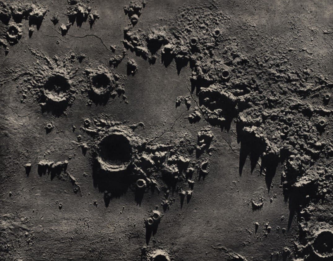
Nasmyth, James Hall, James Carpenter. The Moon : Considered as a Planet, a World, and a Satellite. 2nd ed. London: John Murray, 1874.

The Face of the Moon: Galileo to Apollo

An Exhibition of Rare Books and Maps

Lunar Chart: Arago.

– St. Louis: United States Air Force, 1966. (Lunar Charts and Mosaics, AIC-60 C).

The Apollo Intermediate Chart, or AIC, series was undertaken to provide maps of selected Apollo landing sites at twice the scale of the LAC series. The first map (Reinhold 58D) was issued in March 1965, and the twentieth and final map a year later. The series used the same quadrant numbers as the LAC series, divided into four further sections labelled A-D. Most of the maps are based on the same photographs used for the LAC series, but this one profited from the images sent back by Ranger VIII before it crashed onto the moon on February 20, 1965. Arago is the name assigned to section C of quadrant 60, and it maps the region of Mare Tranquillitatis where Apollo 11 would land three years later.

The illustration is a detail of the lower left quarter of the chart, and the limit of coverage of the Ranger VIII photographs is outlined by dashes. The lack of detail outside the boundary is graphic evidence of the limitations of even the best earth-based photographs. Tranquility Base was established just to the left of the letter "O" in the phrase "Limits Of Effective" at bottom right. The three small craters that stretch across below center from Sabine—B,D, and E—were renamed Collins, Aldrin, and Armstrong after the successful Apollo 11 landing. Image source: Arago. St. Louis, Mo: Aeronautical Chart and Information Center. United States Air Force, 1966.

View Source »