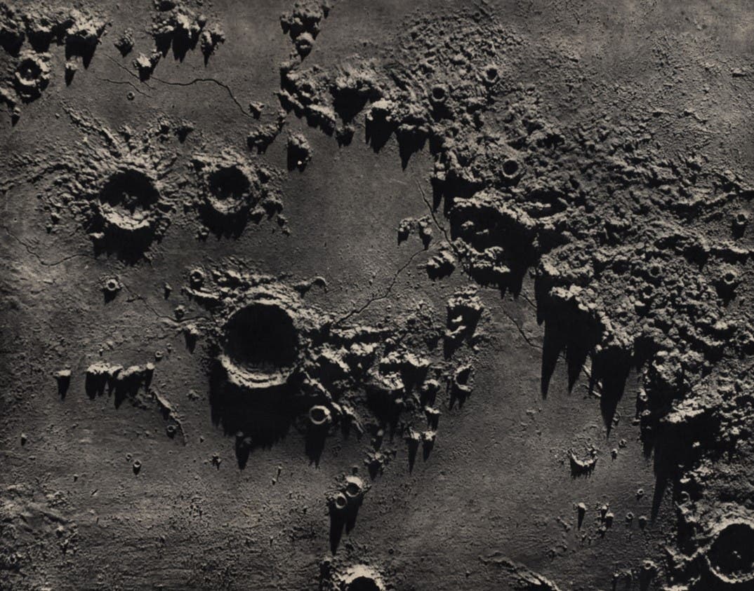
Nasmyth, James Hall, James Carpenter. The Moon : Considered as a Planet, a World, and a Satellite. 2nd ed. London: John Murray, 1874.

The Face of the Moon: Galileo to Apollo

An Exhibition of Rare Books and Maps

Goodacre, Walter (1856-1938).

A Map of the Moon in XXV Sections. – London: Published by W. Goodacre, 1910.

Goodacre succeeded Elger as head of the Lunar Section of the British Astronomical Association. By 1910 he completed a single-sheet map of the moon that was 77 inches in diameter; this was reduced to 60 inches and printed in 25 sections, in the manner of Lohrmann and Schmidt, for the present publication. The positions were based on 1433 measured points by the British amateur S.A. Saunder; the map itself relied on the photographs of the Paris Observatory atlas. Goodacre's map differs in appearance from others because it avoids any attempt at portraying relief. Some find this makes for a cleaner appearance; others have criticized it as lacking in artistry and failing to live up to the standard of Lohrmann, Mädler, and Schmidt.

Section 6 shows the southern part of Oceanus Procellarum and Mare Nubium (Sea of Clouds), with the crater Copernicus dominating the bottom of the section. The region depicted contains several sites that would later be visited by spacecraft: Surveyor 3 landed in the open space above and to the left of Lansberg in 1967, and three years later Apollo 12 touched down just 600 feet away. Apollo 14 landed at about the same latitude, further to the left, just below the formation (and the words) Fra Mauro. Image source: Goodacre, Walter. A Map of the Moon in XXV Sections. London: Published by W. Goodacre, 1910, pl. 6.

View Source »