Mayer, Tobias (1723-1762).
Tobias Mayer's grössere Mondkarte nebst Detailzeichnungen. – Göttingen: Univ.-buchdr. von E.A. Huth, 1881.
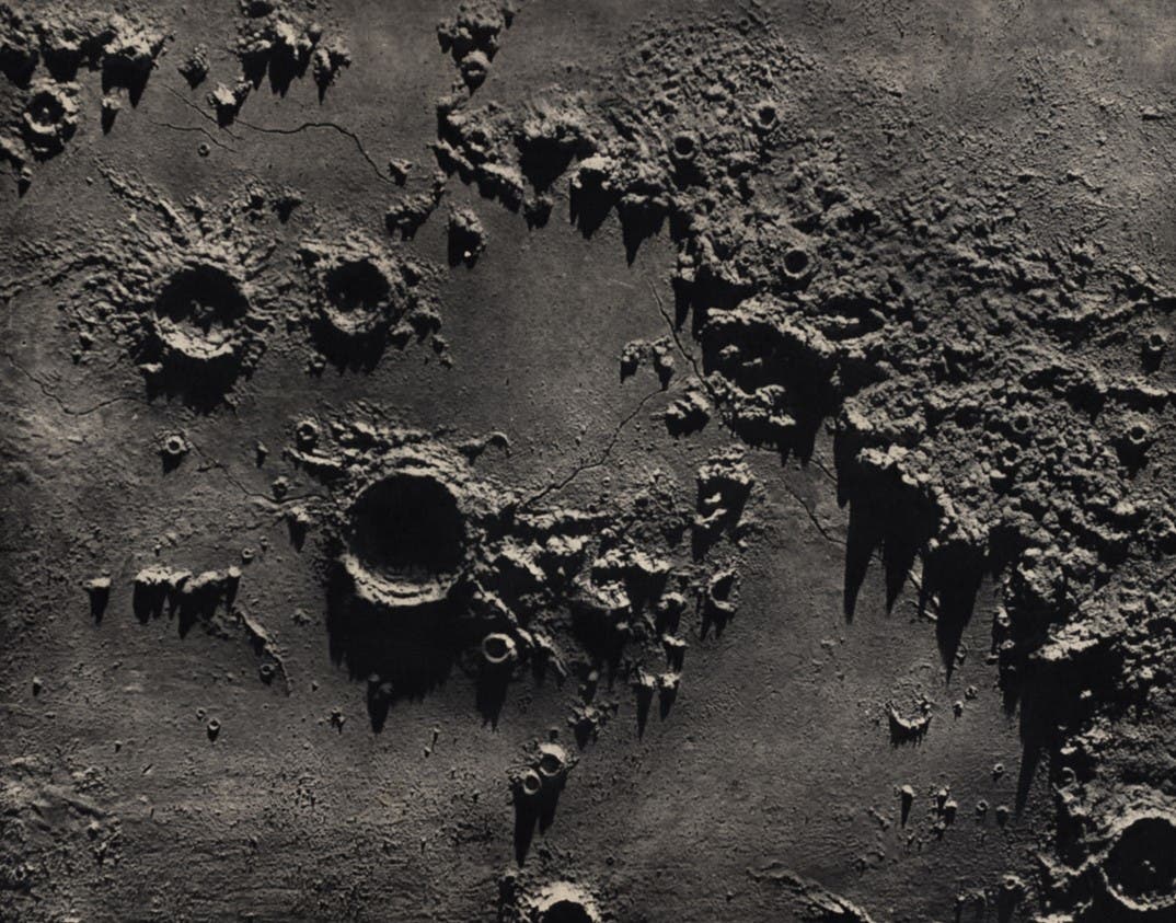
In 1879, the Director of the Göttingen Observatory, W. Klinkerfues, suddenly decided to publish Tobias Mayer's large moon map and his lunar drawings, which had gathered dust in the observatory library for 130 years. Klinkerfues was motivated by the nearly simultaneous appearances of the Lohrmann and Schmidt maps in 1878. The Lohrmann map inspired him because of the enthusiastic reception it received; astronomers welcomed its publication because it would be a valuable tool in resolving the question of lunar surface change. If a sixty-year-old map could be useful, how much more valuable would a map be that was twice as old, by a selenographer just as competent as Lohrmann?
However, the prospect of having a large map engraved was forbidding, and this is where the Schmidt map provided the inspiration, for it had been reproduced from Schmidt's ink original by photolithography. The same method could be easily applied to Mayer's manuscript map, and his drawings as well.