Nasmyth, James Hall, James Carpenter. The Moon : Considered as a Planet, a World, and a Satellite. 2nd ed. London: John Murray, 1874.

The Face of the Moon: Galileo to Apollo

An Exhibition of Rare Books and Maps

Schmidt, Johann Friedrich Julius (1825-1884). 

Charte der Gebirge des Mondes. – Berlin: In Commission bei Dietrich Reimer, 1878.

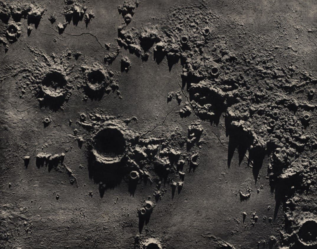
The Schmidt map was the pinnacle of nineteenth-century selenography. Published in 25 sheets, if assembled it would make a map 6 1/2 feet across. There are over 33,000 craters depicted (compared to about 7,100 for Lohrmann and 7,800 for Beer and Mädler). For most of the position measurements Schmidt relied on the work of his predecessors, but he did determine himself the height of over 3,000 mountains, using the techniques invented by his countryman Schröter, whose book had inspired him to take up astronomy in the first place. The map was published in photolithograph by the Office of the Prussian General Staff.

Section 23 of the map shows the southern lunar highlands, one of the most difficult areas of the moon to map in detail. The illustration represents a small fraction of this section, with the crater Clavius at top (identified by the number 8), Maginus at left center (7), and Tycho at bottom right (1). This detail can be compared with a corresponding detail from the Lohrmann map (see item 18), as well as with Schmidt's earlier chromolithograph (see item 12). Image source: Schmidt, Johann Friedrich Julius. Charte der Gebirge des Mondes. Portfolio, Berlin: In Commission bei Dietrich Reimer, 1878, sec. 23.

View Source »