Mayer Tobias (1723-1762).
Bericht von den Mondskugeln. – Nuremberg: Zu finden in der Homännischen Officin, 1750.
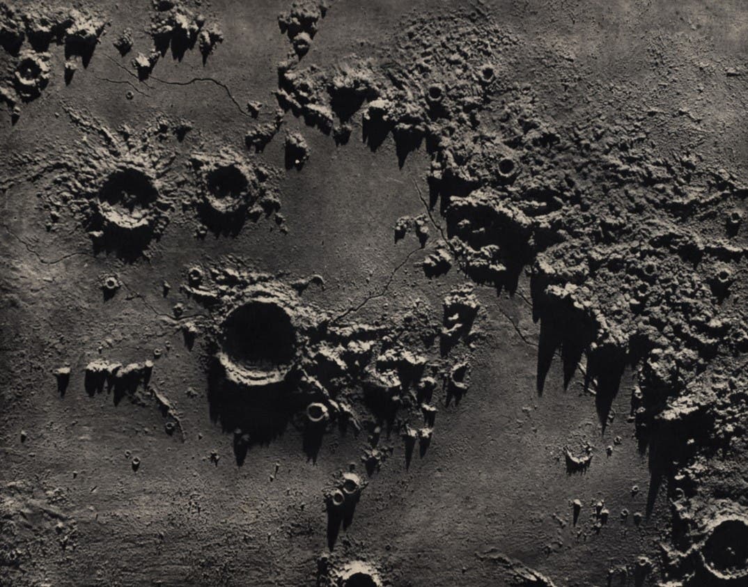
Mayer introduced the revolutionary idea of using a micrometer within the telescope to determine the exact positions of the lunar features. He began his lunar studies in 1748 and made at least 40 detailed drawings of various regions, from which he planned to construct both a lunar map and a lunar globe. In 1750 the Cosmographical Society of Nuremberg issued a prospectus for the globe, which included two plates, made from Mayer's drawings, to demonstrate the quality of his observations. The lunar globe was never produced, as the publisher flirted with bankruptcy, and Mayer became involved in other projects. But his two lunar maps and his careful drawings were eventually published (see the Mayer 1775 and 1881 illustrations).
Opera inedita. – Göttingen: Johann. Christian. Dieterich, 1775.
After Mayer's untimely death, George Christoph Lichtenberg undertook to edit some of Mayer's papers for publication, among them the smaller moon map of 1750. To engrave it, he selected Joel Paul Kaltenhofer, who was not only one of the best engravers in Germany, but a friend of Mayer, and himself a skilled lunar artist. Kaltenhofer's first attempt was rejected, but the second proved satisfactory.
One unusual feature of the map is that it has north at the top, contrary to the tradition inaugurated by Cassini and continued by every other lunar map until 1960. When Schröter incorporated Mayer's map in his own moon book (item 10), he took exception to this disregard of convention, and had the map re-engraved with south up.