Scientist of the Day - Vincenzo Coronelli


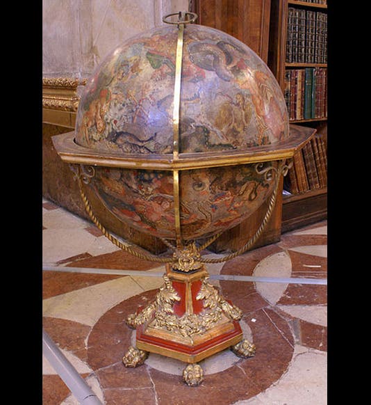
Vincenzo Coronelli, an Italian map-maker, was born Aug. 15 or 16, 1650. Coronelli was official Cartographer to the Republic of Venice. He is best known for his globes, of which he produced both the terrestrial and celestial variety. He made one for Louis XIV of France that was fully 15 feet across! But most of the surviving Coronelli globes are 42 inches across, which is still quite large, as globes go. His celestial globes were notable for their sweeping baroque figures and billowing drapery, which made the globes quite beautiful. A number of Coronelli celestial globes survive. We see above one in the National Library in Vienna (first image), and another at the Harry Ransom Center at the University of Texas (second image).
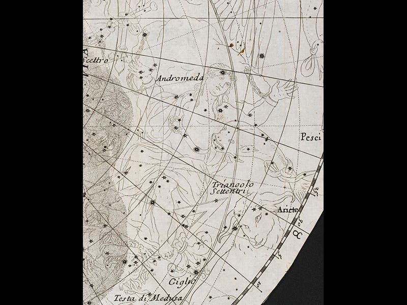
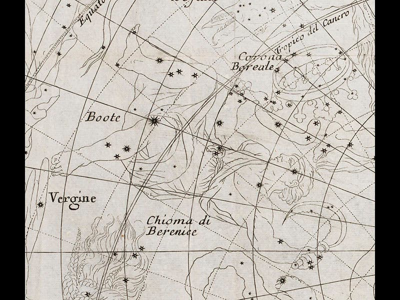
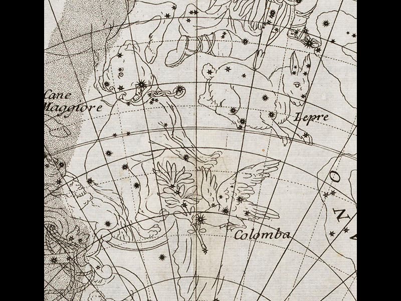
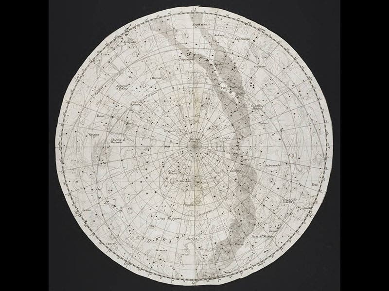
We have no original globes of any kind in our Library. However, Coronelli did publish an Epitome of Cosmography (1693) in which he inserted two flat planispheres of the heavens (as well as two of the earth). Because they are on a smaller scale, the celestial maps are not nearly so impressive as the globes, but one can still marvel at the way the heroes of mythology soar across the sky, quite in contrast to the staid constellation figures of earlier celestial cartographers. We see here details of the constellations of Andromeda (third image), Bootes (fourth image), and the trio of Canis Major, Lepus, and Columba (fifth image). The entire northern planisphere can be seen in the last image.
Our two Coronelli planispheres were originally folded up and bound into the text volume of the Epitome, which was not very friendly to either the maps or the viewer. When we organized our Out of This World exhibition in 2007, we had the star maps (and their terrestrial kinfolk) removed, flattened, and transferred to a flat folio case, which makes the maps easier to access and considerably more attractive.
Dr. William B. Ashworth, Jr., Consultant for the History of Science, Linda Hall Library and Associate Professor, Department of History, University of Missouri-Kansas City. Comments or corrections are welcome; please direct to ashworthw@umkc.edu.