Scientist of the Day - Philippe de La Hire
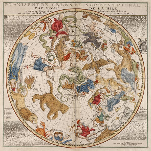
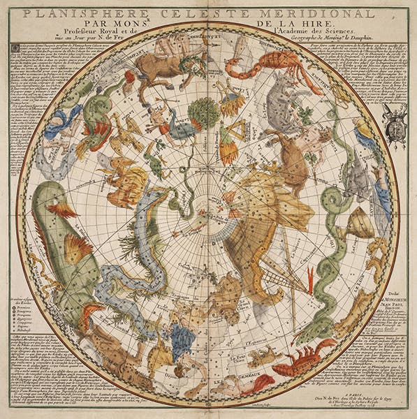
Philippe de La Hire, a French astronomer and mathematician, was born Mar. 18, 1640. In 1705, La Hire published two large celestial planispheres, or circular maps of the stars and constellations. The circumstances behind these maps are quite obscure. We don’t know how La Hire compiled the data for the charts, and whether he had a role in designing the constellation figures. He could well have drawn them himself, since he was the son of a prominent artist, and trained as an artist as a young man. But the legend on the charts says they were “mis au jour,” or “brought into the light,” by Nicolas de Fer, as if they had been lying in some dark cupboard awaiting discovery. De Fer was a prominent engraver and cartographer, so he may have had a role in designing the charts; we just don’t know.
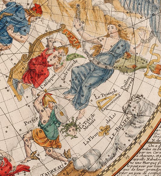
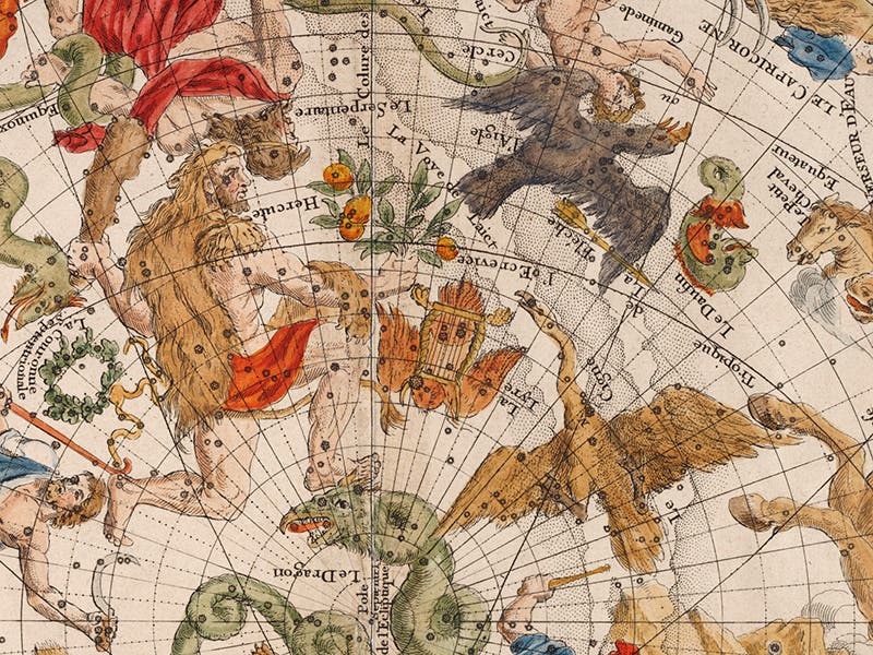
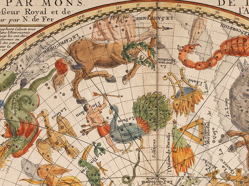
Whatever the story behind these celestial maps, they are gorgeous. We display here the complete northern planisphere (second image) and southern planisphere (fourth image), as well as two details of the northern map (first and third images) and one detail of the southern map (fifth image).
Each map was carefully drawn, engraved, printed, and then hand-colored. The color, which is original and contemporary with the engravings, is still rich and vibrant.
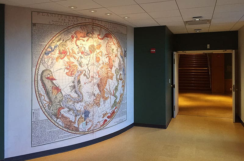
If you come visit our History of Science Center, perhaps to view the original La Hire celestial maps, you will pass through a breezeway between the stairway from the exhibition halls and the rare book room. If you look to your right as you enter the breezeway, you will see an 8-foot-tall reproduction of La Hire's southern map on the curving wall beside you (sixth image). It retains its beauty admirably, even after being enlarged to 30 times its original size.
Dr. William B. Ashworth, Jr., Consultant for the History of Science, Linda Hall Library and Associate Professor, Department of History, University of Missouri-Kansas City. Comments or corrections are welcome; please direct to ashworthw@umkc.edu.

