Scientist of the Day - Julius Schmidt
Linda Hall Library
Linda Hall Library
Linda Hall Library
Linda Hall Library

Linda Hall Library
Linda Hall Library
Linda Hall Library
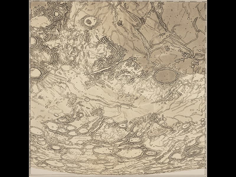
J. F. Julius Schmidt, a German astronomer and lunar cartographer, was born Oct. 26, 1825. After coming across a collection of lunar maps as a child, Schmidt embarked on his lifetime vocation, mapping the moon. He moved from Germany to Moravia and then to Greece, where he served as Director of the Athens Observatory for 25 years. Finally, in 1878, he published what was then the largest moon map ever printed. Spread out over 25 sheets, it makes a map (if assembled) over 6 1/2 feet across. More than 30,000 craters are depicted, many of them observed and measured for the first time by Schmidt. His map was printed by photolithography, making it the first lunar map to be reproduced by photographic means.
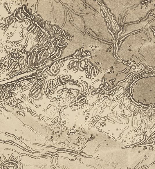
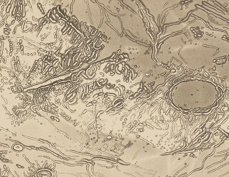
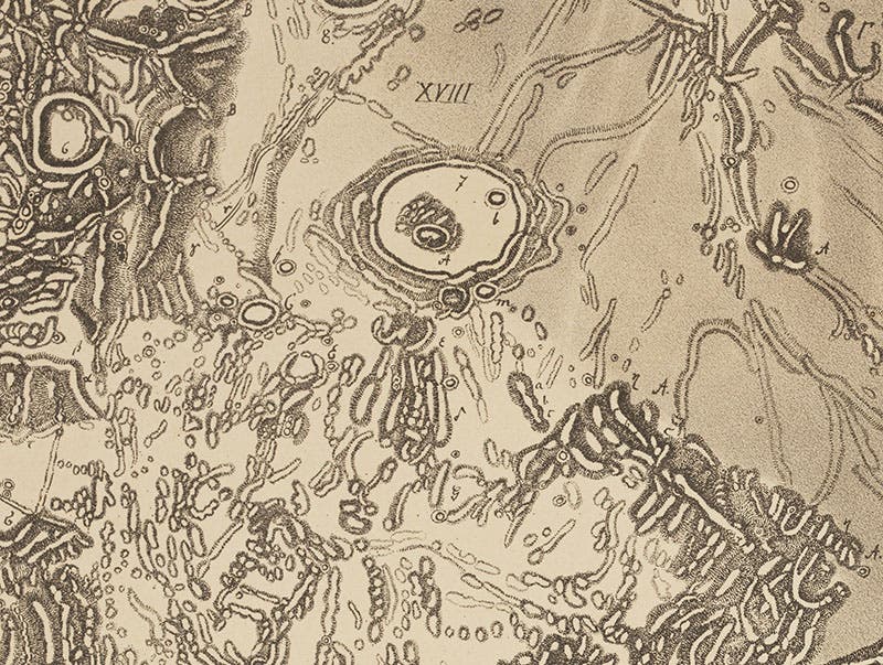
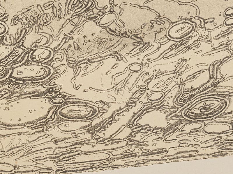
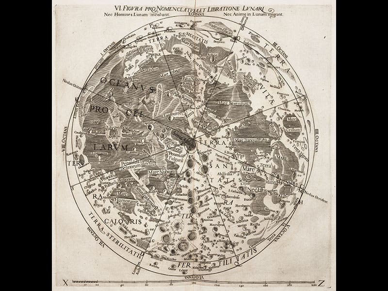
We displayed Section XXIII of Schmidt's map in our exhibition, The Face of the Moon: Galileo to Apollo, choosing this sheet because it includes many of the craters that form the southern lunar highlands. For today’s occasion, we reproduce Section XV (fourth image), which maps the Moon's northern polar region and contains the dark crater Plato, the canyon through the Lunar Alps that we call the Alpine Valley, and the smaller craters Timaeus and Cassini (south is up on all of Schmidt’s sections). So that you can appreciate the incredible detail that Schmidt put into his map, we also show close-ups of Plato and the Alpine Valley (first image), Cassini (second image), and the limb north of Mare Frigoris (Sea of Cold; third image). And to make Schmidt's achievement even more impressive, we also include the famous lunar map by Francesco Grimaldi and Giambattista Riccioli (1651) that introduced our modern system of lunar nomenclature (sixth image), as well as a detail from that map that shows the same region that Schmidt mapped in his section XV (fifth image; on the Riccioli map, north is up, so the crater Plato is on the left, and the Alpine Valley, which should be on the right, is not shown at all). When you look at the fourth image above, and then the fifth, you realize that lunar cartography came a long ways in the 227 years between Riccioli and Schmidt.
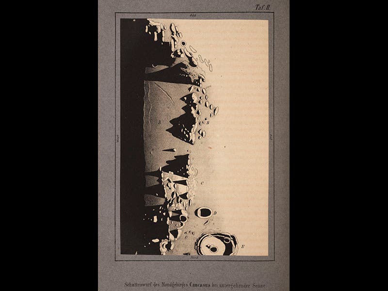
In 1856, when his lunar map project has just begun, Schmidt published a small book called Der Mond (1856). It has only two illustrations, both tinted lithographs, but one of them was so dramatic (seventh image) that we used it for the front cover of the Face of the Moon catalog.
Dr. William B. Ashworth, Jr., Consultant for the History of Science, Linda Hall Library and Associate Professor, Department of History, University of Missouri-Kansas City. Comments or corrections are welcome; please direct to ashworthw@umkc.edu.

