Scientist of the Day - Isaac Stevens
In 1853, the U.S. Congress authorized the Secretary of War, Jefferson Davis, to survey the American West, in order to determine the best route for a transcontinental railroad. Seven such surveys were sent out, four going west along the 32nd, 35th, 37th-38th, and 47th-49th parallels, and three more in California, to determine how best to cross the Sierras. Collectively, they are usually referred to as the Pacific Railroad Surveys, and the publications that resulted from them, the Pacific Railroad Reports. Each survey was headed up by an officer of the Corps of Topographical Engineers, all of whom were U.S. Army officers, which is why the War Department was in charge. Each contingent included at least one artist, as well as a naturalist/botanist and a geologist, so they really were scientific surveys
Over the years, we have written about many of the men who participated in the railroad surveys, such as John Gunnison, who headed up the 38th-39th parallel survey, until he was slain by Utes; Gouverneur Warren, who took the topographical information brought back from all the surveys and constructed the first survey-based map of the American west; and Andrew A. Humphreys, who headed up the entire railroad survey operation,
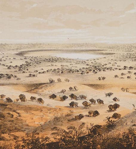
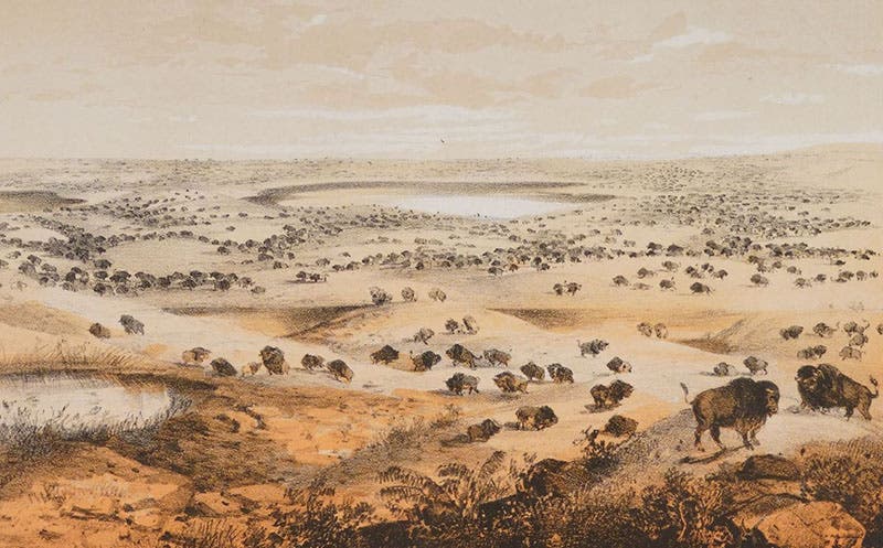
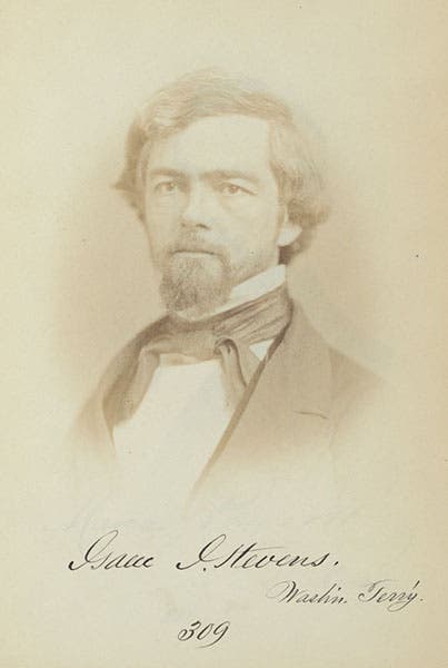
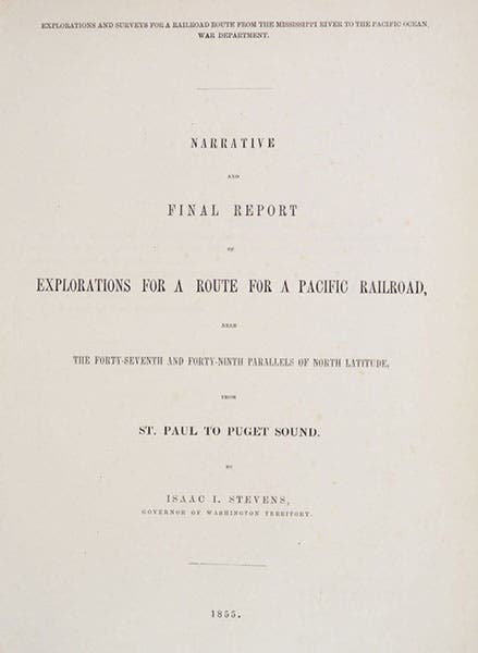
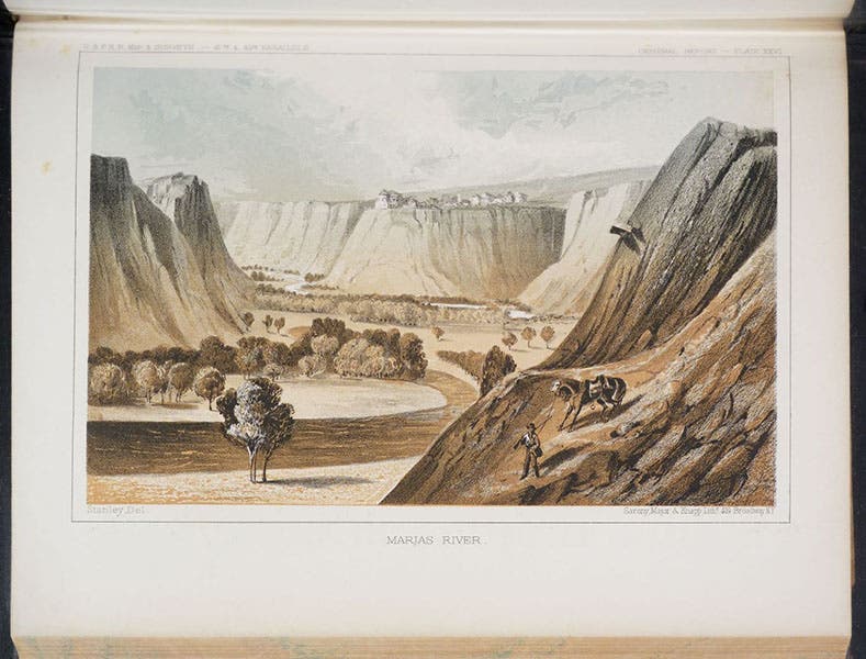
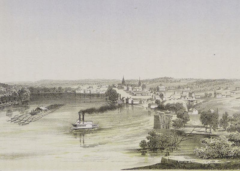
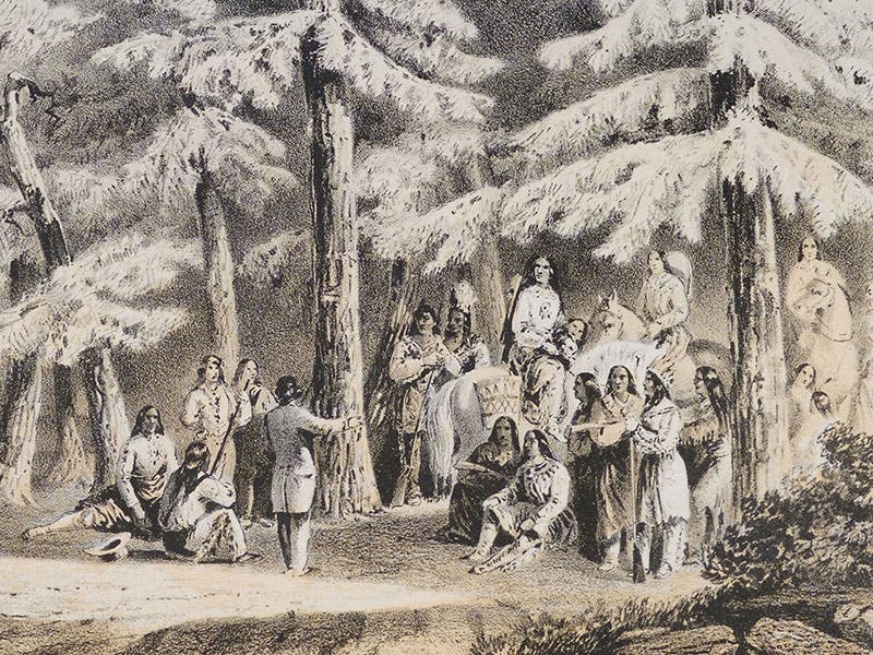
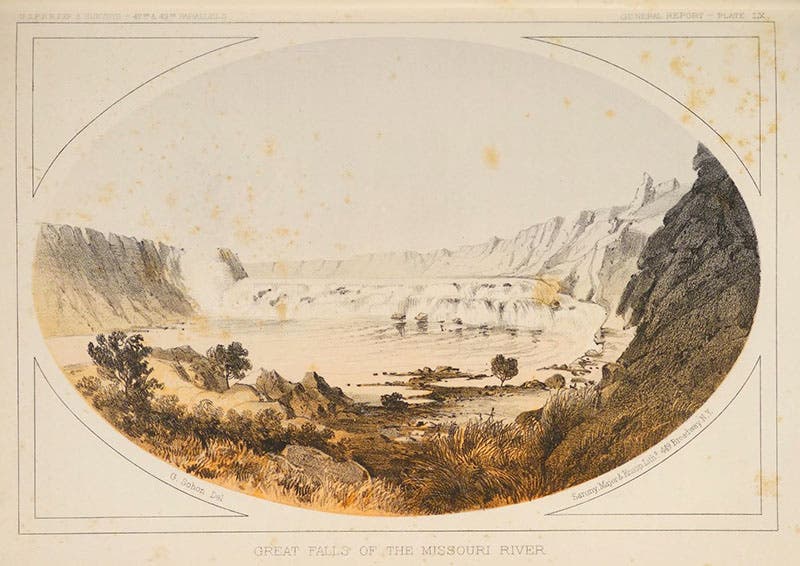
The northernmost survey, along the 47th-49th parallels, was led by Isaac Ingals Stevens, born on this day, Mar 25, 1818 (second image). Stevens had just been appointed Governor of the new Washington Territory in 1853, and his first appointed task was to start out from Saint Paul and head west, following the path, more or less, of Lewis and Clark, up the Missouri river, over the Rockies, and down the Columbia. As a railroad survey, it was a very successful venture. I don’t know if Stevens selected his own artists or was assigned them, but he had two good ones: John Mix Stanley (who has merited his own post), and Gustav Solon. Stanley made memorable drawings of bison herds (first image) and Native American activities, such as bison hunting, and he depicted all the forts that had been built up along the Missouri River, such as Fort Union, Fort Benton, and Fort Walla Walla. Sohon was a more dramatic artist, as his vigorous "Crossing the Hellgate River” indicates (ninth image). Together, the two artists were responsible for more than 80 tinted lithographs, which were used to illustrate Stevens' narrative, published as volume 12 of the Pacific Railroad Reports, making this one of the most visually impressive of all the volumes.
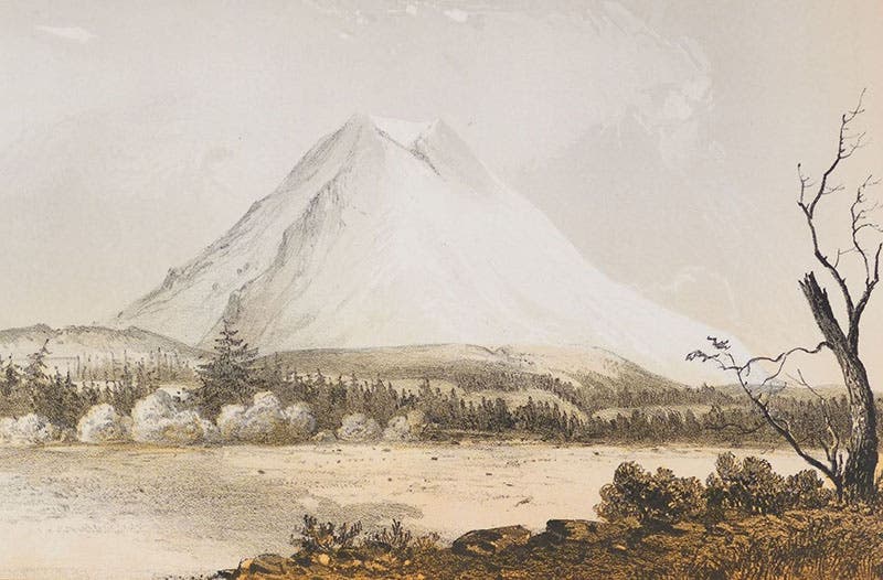
We showed five of the lithographs from Steven’s volume in our earlier post on Stanley, and the lithographs there, with the exception of the first, were shown full page. Here we show mostly details, some (like the bison herd) from our first post, but mostly new ones. Stanley did two views of Mount Rainer; we showed one in our first post (which included Puget Sound) and the other here (seventh image). Interestingly, Stevens’ son would later be a member of the first climbing party to ascent Mount Rainier. The two Sohon lithographs (eighth and ninth images) are presented here for the first time.
Stevens’ years as Governor of Washington Territory (1853-57) were contentious ones. He tried to deal with the Native American tribes by peaceful diplomacy, but when conflict arose, as with the Yakima Wars, he was ruthless in putting down uprisings. But everyone agreed he was a decisive leader, even if some of his decisions were questionable. When the Civil War broke out, Stevens was returned to active army duty. He distinguished himself in several campaigns and was promoted to brigadier general, but was killed in the Battle of Chantilly in Virginia on Sep. 1, 1862.
There is a monument honoring Stevens in the Ox Hill Battlefield Park in Fairfax, Virginia, site of the Battle of Chantilly. Volume 12 of the Pacific Railroad Reports is perhaps an even greater monument. We have two complete sets of the Reports in our collections; one in our History of Science collection, the other in our Government Documents collection (the Reports were published by Congress). The volume we had scanned for this post is from the set in History of Science.
William B. Ashworth, Jr., Consultant for the History of Science, Linda Hall Library and Associate Professor emeritus, Department of History, University of Missouri-Kansas City. Comments or corrections are welcome; please direct to ashworthw@umkc.edu.

![Bivouac on Jan. 26 [1854], chromolithograph from a sketch by Balduin Möllhausen, Explorations and Surveys for a Railroad Route from the Mississippi River to the Pacific Ocean: Route near the Thirty-Fifth Parallel, by Amiel W. Whipple (Pacific Railroad Report, 3), 1856 (Linda Hall Library)](https://assets-us-01.kc-usercontent.com:443/9dd25524-761a-000d-d79f-86a5086d4774/55140a90-4b5d-4dac-832c-5def5cb51a10/Whipple1_cover.jpg?w=210&h=210&auto=format&fit=crop)
