Scientist of the Day - Francois Matthes
Linda Hall Library
Linda Hall Library
Linda Hall Library
Linda Hall Library
Linda Hall Library
Linda Hall Library
François Matthes, a Dutch-born American topographer and geologist, died June 21, 1948, at age 74. In 1896, Matthes started working for the U.S. Geological Survey, mapping tracts of wilderness out west. His specialty was topographic mapping, which shows elevation and contour as well as location, and in those days, you had to measure all the elevations yourself, since there was no data to work from (and no aerial photographs). After mapping the Bighorn Mountains and demonstrating a beautifully clear, crisp topographic style, he got the call in 1900 to survey and map an area of the Rockies in Montana that was especially scenic. In 1910, this area became Glacier National Park. In similar fashion, Matthes mapped the Grand Canyon (1902-04), Yosemite Valley (1905-06) and Mt. Rainier (1910-11). Then, in an unprecedented move, he switched fields in 1913 and became a geologist for the USGS. His task for the next 13 years was to unravel the geologic history of Yosemite Valley. At the time, there was some controversy as to whether the Valley had formed by faulting, or by glacial activity.
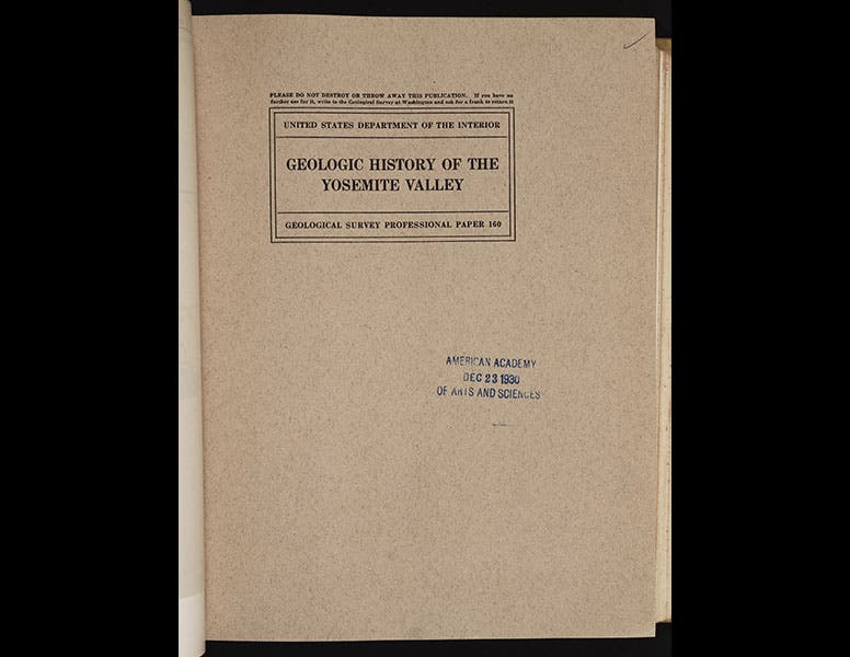
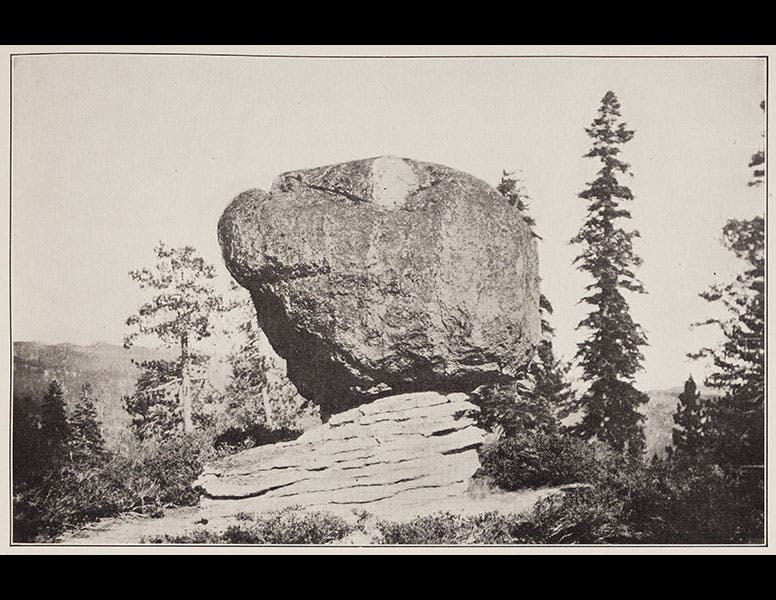
Matthew completed his study of Yosemite, and in 1930 he published one of the classics of American geological literature, Geologic History of the Yosemite Valley, better known, for some odd reason, as Professional Paper 160 (it is classified as such in the Library’s government documents collection) (third image). The work resolved the debate and demonstrated the importance of the Wisconsin glaciation in forming Yosemite Valley. One of the many photographs in PP160 shows an erratic boulder sitting on the very top of a peak, a silent witness to the glacier that left it there (fourth image).
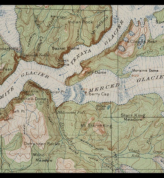
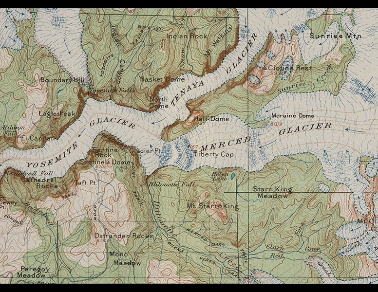
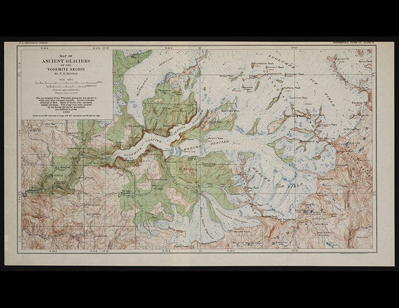
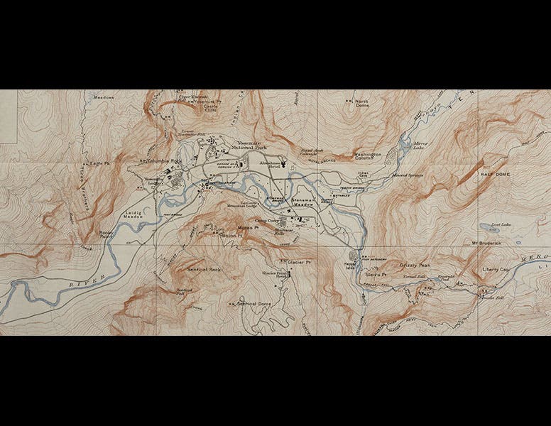
The study included five beautiful foldout color maps, all done by Matthes. One depicts the central valley, the area that includes Half-Dome and North Dome; we show just a detail above, so that you can appreciate the beauty of the contour lines (fifth image). The most astonishing map reconstructs Yosemite Valley as it would have appeared at the height of the Wisconsin glaciation, with only Half-Dome and El Capitan peeking out of the ice. We reproduce both the entire map, and a detail (first and second images).
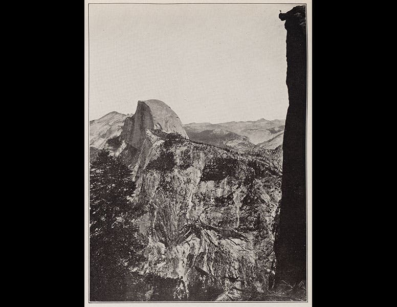
Many of the photographs in Geologic History of the Yosemite Valley were taken by Arthur C. Pillsbury, who achieved some fame for his photographs of a burning San Francisco during the earthquake of 1906. We include above a Pillsbury photograph of Half-Dome and Glacier Point (sixth image). If you look at the upper right corner, you will see a person standing on Overhanging Rock, a popular (and for some of us, spine-tingling) viewing point.
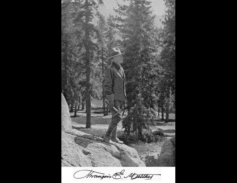
The final photo shows Matthes himself, at work in the field, where he was for most of his 51 years with the USGS.
Dr. William B. Ashworth, Jr., Consultant for the History of Science, Linda Hall Library and Associate Professor, Department of History, University of Missouri-Kansas City. Comments or corrections are welcome; please direct to ashworthw@umkc.edu.

