Scientist of the Day - Buckminster Fuller
Linda Hall Library
Linda Hall Library
Linda Hall Library

Linda Hall Library
Linda Hall Library
Linda Hall Library
Linda Hall Library
Buckminster Fuller, an American inventor, architect, and engineer, was born July 12, 1895. Fuller is best known for his geodesic dome, and for buckminsterfullerene, the carbon molecule that was named for its resemblance to Fuller's hexagonal dome. But we are especially fond of two other Fuller inventions, the Dymaxion car, and the Dymaxion map. We will reserve the car for another occasion and today discuss the map.
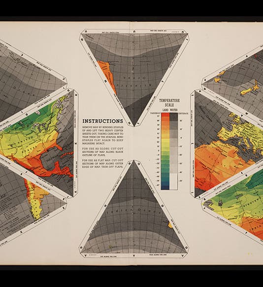
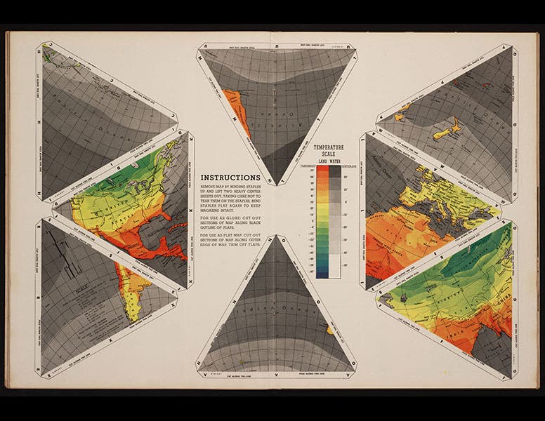
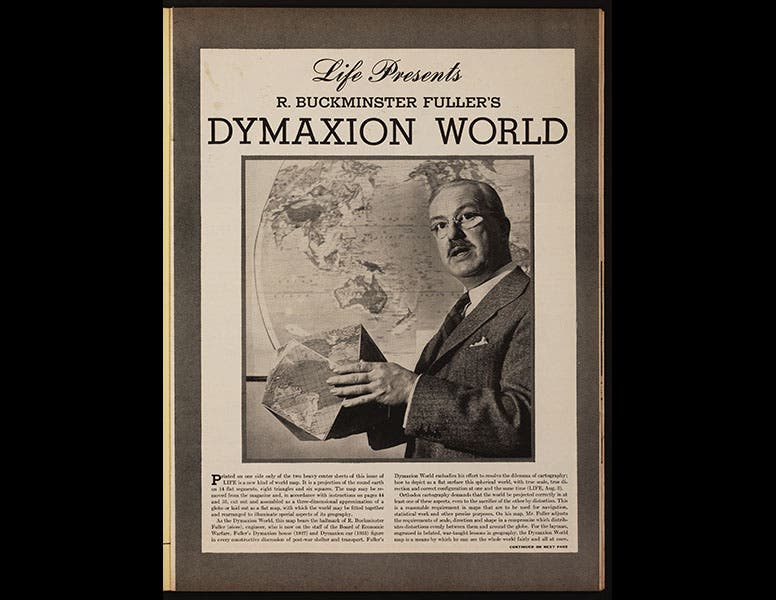
Fuller found conventional map projections, such as the Mercator projection, to be not only distorting, but limiting, in that they do not reveal connections between continents, or between oceans. He found that if he projected the globe onto a number of polygons, these polygons could be arranged in different ways to allow us to see the earth, and the connectedness of its landmasses and oceans, in a new way. The first Dymaxion map was revealed to millions of people all at once when Life Magazine, in its March 1, 1943 issue, published the map printed in segments on two pieces of heavy-stock paper bound into the center of the magazine. The two sheets could be removed, the polygons cut apart, and the pieces assembled into either a map or a globe. We see above the first page of the article, and one of the two printed sheets bound into the magazine (first and second images). It wasn't until three years later that Fuller patented his Dymaxion map.
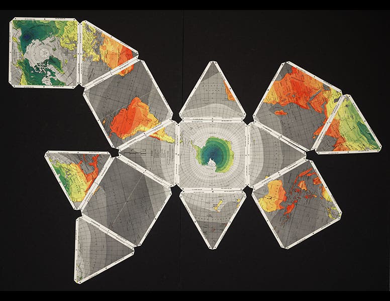
The original 1943 map was comprised of 6 squares and 8 equilateral triangles. We have two copies, one still intact in the Life issue, and one cut into pieces, retaining the tabs. We have assembled the cut-up version in two different layouts so you can see the versatility of Fuller's idea (third and fourth images). It would be nice if we could acquire two more copies--one that we could cut apart without the tabs, which would produce a more elegant map, and one that we can paste together into a globe. Actually, libraries don’t cut things up, so I will probably have to do that on my own.
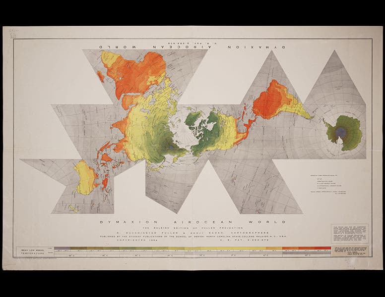
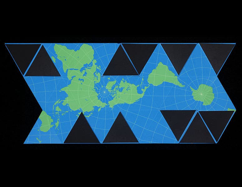
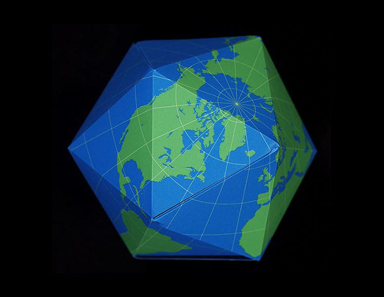
In 1954, Fuller, with the aid of Shoji Sadao, published a revised version of the map, in which most of the segments are equilateral triangles. The Library has one of these 1954 versions in its Map Collection (fifth image). Most modern Dymaxion maps are projected onto 20 equilateral triangular segments. The Buckminster Fuller Institute sells a magnetic version, designed by Brendan Ravenhill, that can be easily morphed between map and globe. The map state shows the appeal of the Dymaxion projection, with all the continental land masses joined together (sixth image; the dark triangles are magnetic tabs). The assembled globe, a Platonic icosahedron, is quite attractive and will sit on a shelf in one of 20 different orientations, the perfect multi-cultural globe.
Dr. William B. Ashworth, Jr., Consultant for the History of Science, Linda Hall Library and Associate Professor, Department of History, University of Missouri-Kansas City. Comments or corrections are welcome; please direct to ashworthw@umkc.edu.

